
9/27/2013
Steens Mountain Area, Oregon
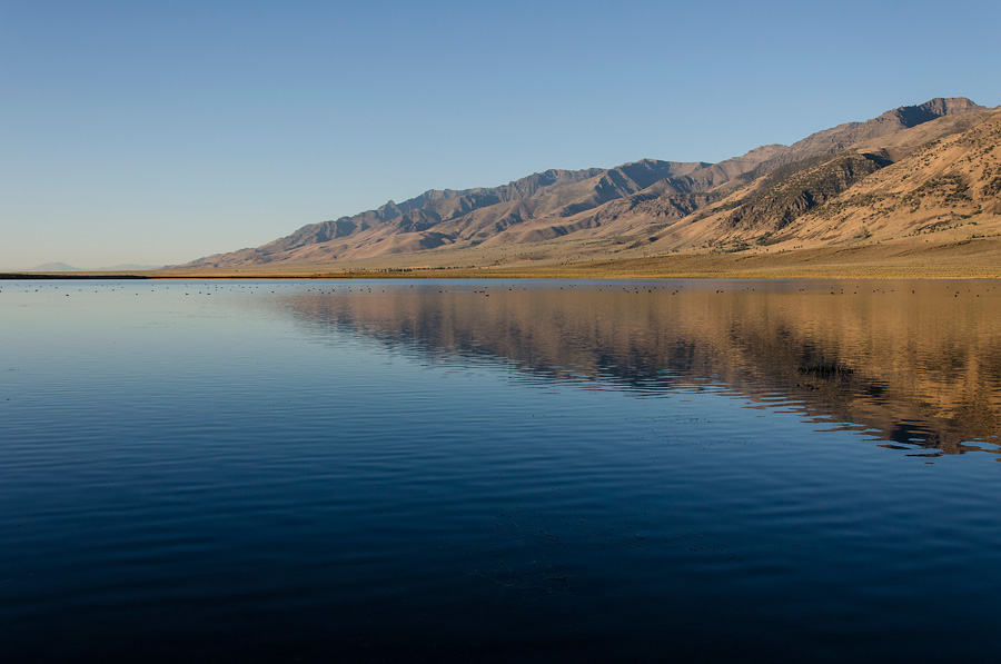
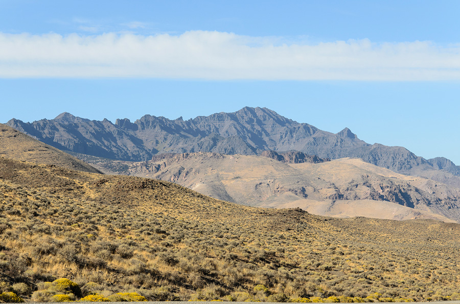
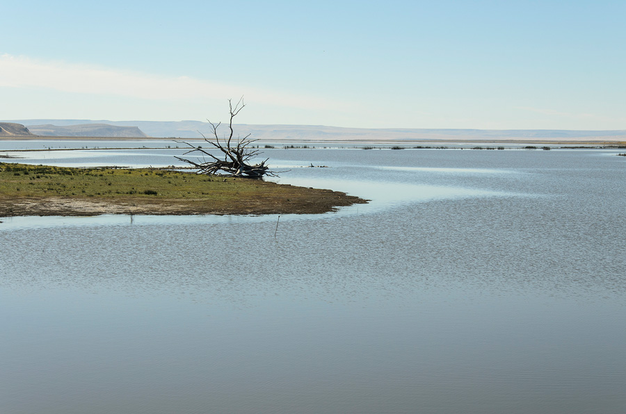
Steens Mountain From the Mann Lake Campground
Steens Mountain sits more or less in the middle of one of the most remote sections of the United States. At 9,733 feet it's far from the tallest or most dramatic peak in Oregon. It is however the furthest from any major city. Steens is 8 hours drive from Portland, 6 from Boise and 7 from Reno. The closest town of any size is Burns Oregon 2-3 hours drive north. Steens' remoteness guarantees that tourist traffic is minimal. Steens and the land around it are largely publicly owned but other than a few primitive campsites these lands are undeveloped.
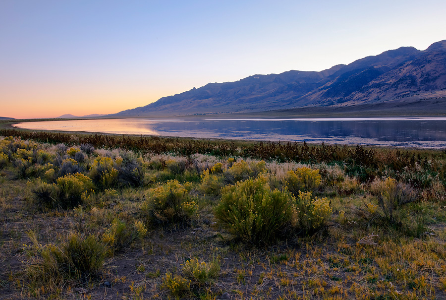
Steens Mountain From the Mann Lake Campground
Pictured above is the Mann Lake Campground. It's operated by the BLM. It has a pit toilet and 7 or so primitive campsites. I arrived one afternoon in early October 2012 at around 4PM and left the next morning at 9AM. I had the campground to myself the entire time. It was a wonderful, peaceful place to spend the night. Other than the sounds of the ducks on the water and the pack of coyotes that came through in the middle of the night it was silent. As an added bonus there are no fees for camping. Mann Lake is one of my all time favorite campgrounds.
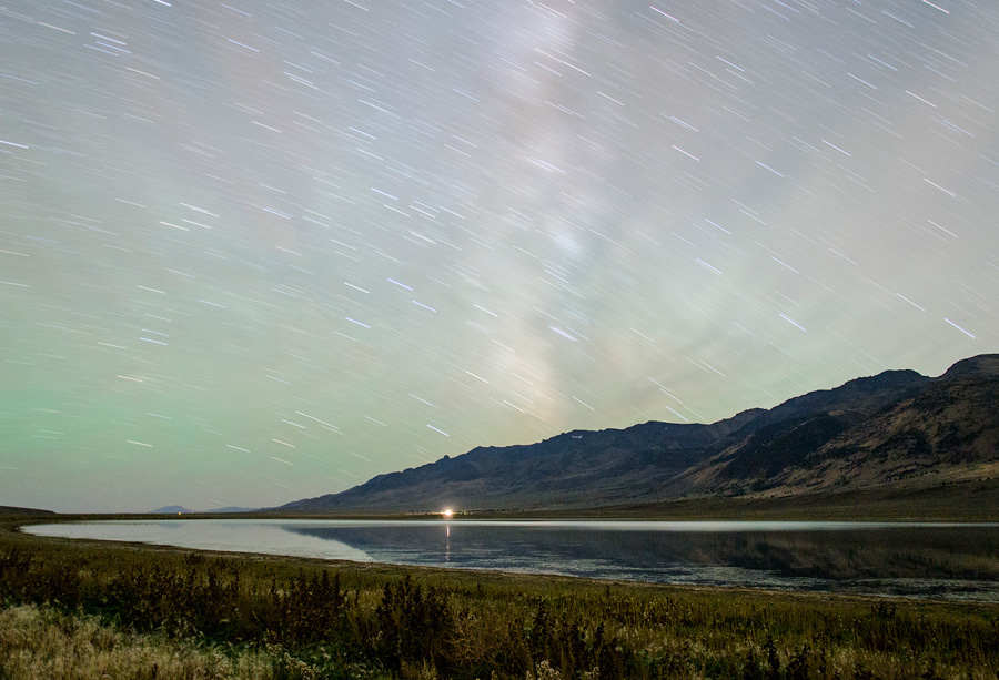
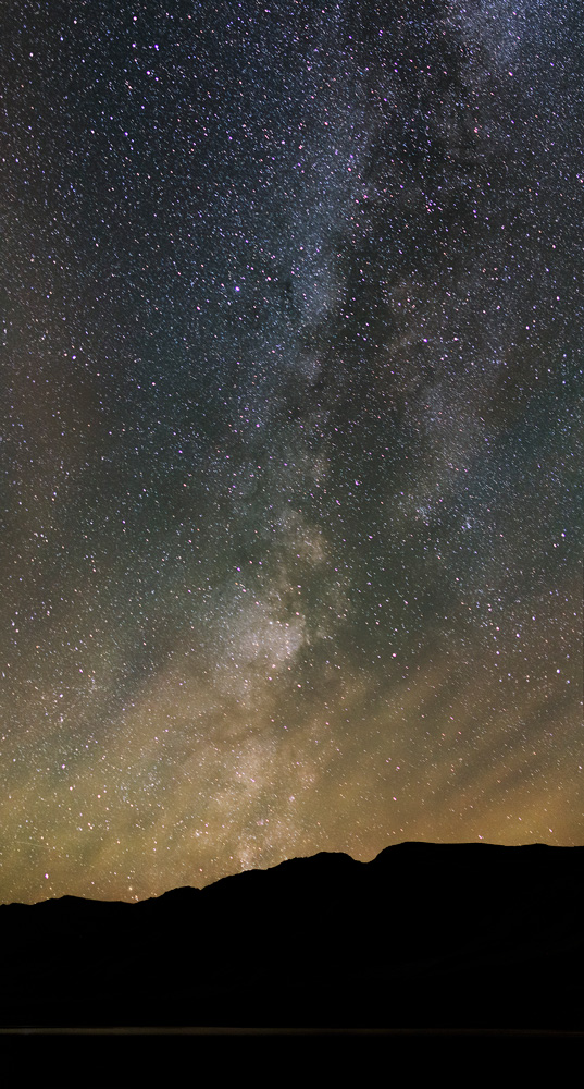
Steens Mountain From the Mann Lake Campground at Night
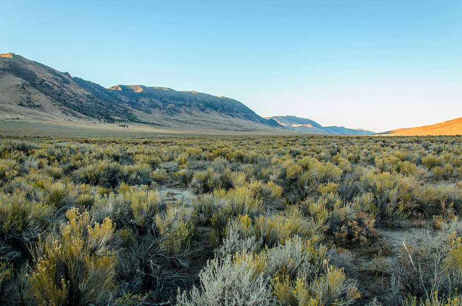
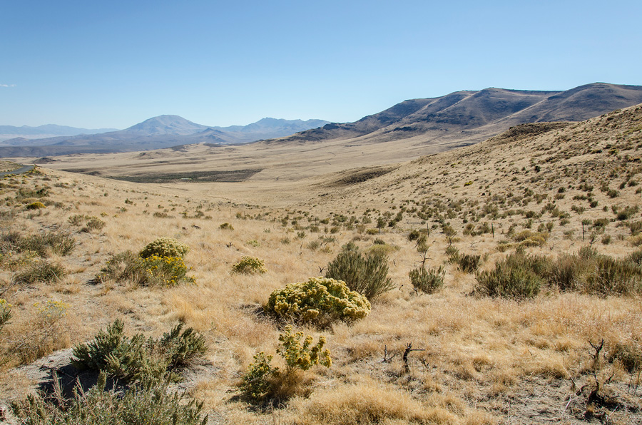
Steens is a fault block mountain and as such is shaped like a wedge a full 50 miles long. It's eastern flank rises gradually out of the high desert and it's western flank (pictured above) falls more dramatically into a dry basin. Steens is one of a series of fault blocks in Southern Oregon that include Lake Abert/Abert Rim. There is a gravel road that runs up the eastern flank all the way to Steens' peak starting in Frenchglen. I've never driven up, but have read that the road is passable with any kind of reasonably high clearance vehicle. Supposedly it can take as long as 4 hours to get to the summit and back down which is why I skipped it when I visited.
Mann Lake Campground
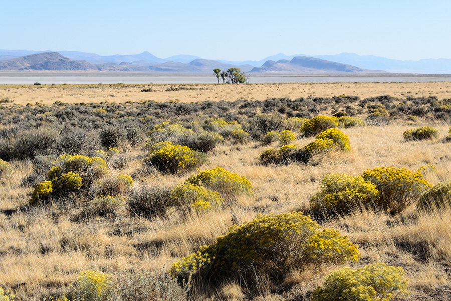
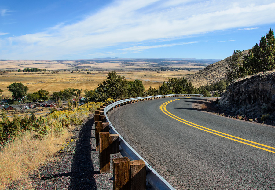
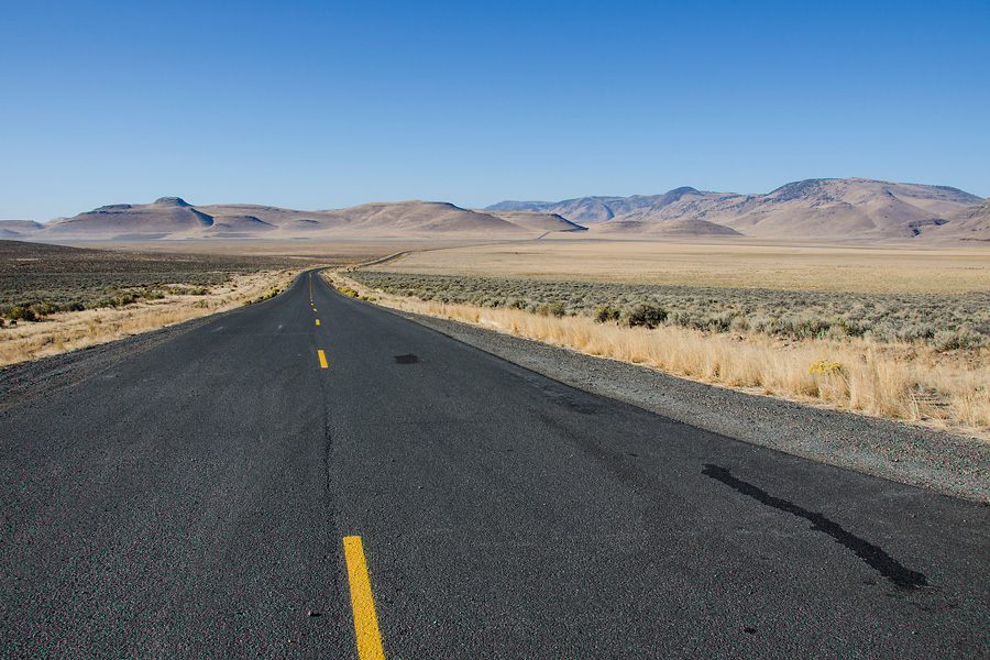
205, Fields-Denio Road and 78 make a sort of loop around the mountain from Burns. I would highly recommend taking this route. It's 237 miles and about 5 hours from Burns around the mountain and back, through stunning and unique scenery. The Alvord Desert on the east side of the mountain is an impressive dry lake bed, the Catlow Valley Road section is beautiful as is the entire length of Fields Denio. This route also passes/crosses Malheur Lake. Fields-Denio Road is unpaved for about 30 miles beneath the mountain but the road is very well maintained. Frenchglen on the western side of the mountain has a gas station/store and an inn. If you go on the loop I'm describing Frenchglen is the only place you'll pass that has services of any kind. There are a few ranches scattered around but otherwise the area is uninhabited.
Steens Mountain
Alvord Desert
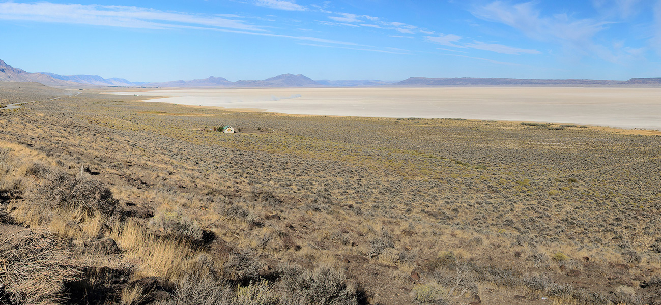
Alvord Desert
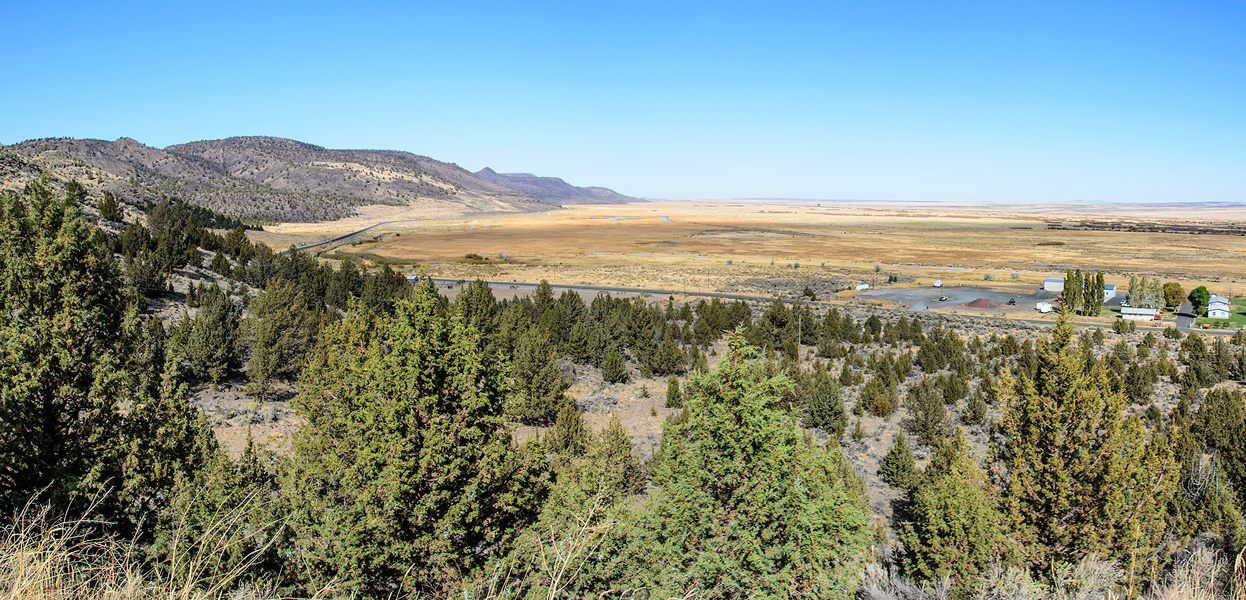
Above Frenchglen
Above Frenchglen with Steens on the Horizon
Catlow Valley Road, South of Steens
Catlow Valley Road, South of Steens
Feilds-Denio Road, North of Steens
Malheur Lake
Mann Lake Campground
All content on these pages Copyright Mark Hedlund 2012-2019. All rights reserved. Use in school projects and with links on social media is always okay. Please send me an email to request permission for any other use: hedlunch@yahoo.com Non-exclusive commercial publication rights for most photos is $25 per image.